
Downloads
Long distance walking trails
Looking for a longer walking challenge?
A number of long distance routes pass through Nidderdale National Landscape taking in some of Yorkshire, in fact Britain’s most stunning scenery.
Walking routes
Tackle the trails in one go for an adventurous holiday or do them in stages.
The Nidderdale Way
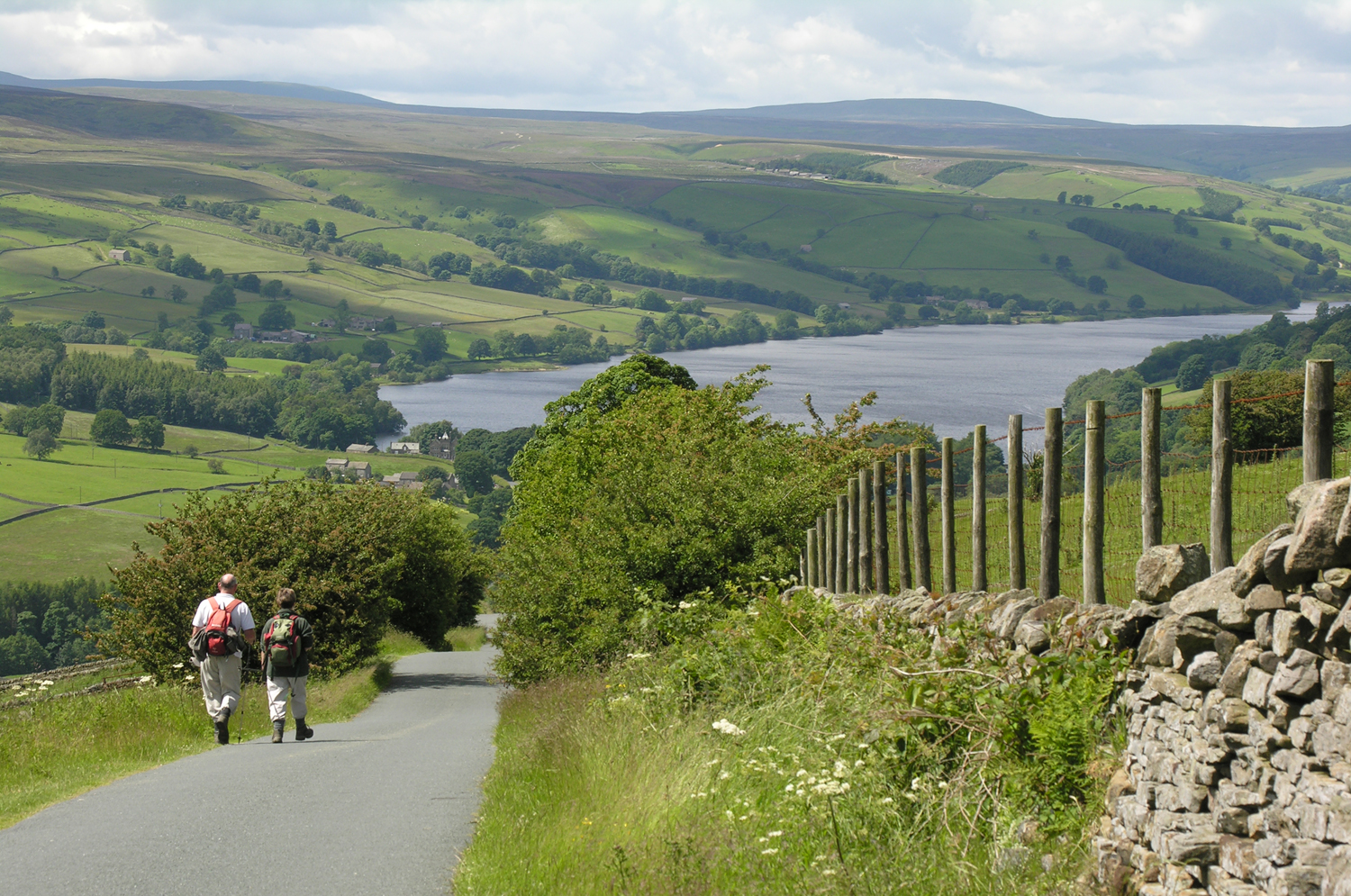
A 53 mile circular walk from Pateley Bridge, this route takes you through the spectacular uplands around Scar House Reservoir to the rolling fields and river valleys along the River Nidd. With its own unique way marker the walk offers some challenging climbs with rewarding views, especially a breath-taking panorama from Middlesmoor Church. Highlights include Brimham Rocks, How Stean Gorge and Yorke’s Folly as well as pretty villages such as Middlesmoor, Ramsgill and Ripley.
Download our free Nidderdale Way Walking Guide which will help you to find out about the route, plan your visit and learn about the history of Nidderdale. Alternatively the whole route is shown on the OS Explorer 298 map or Harvey Maps has produced a waterproof map of the route.
In 2019, a new guidebook to the Nidderdale Way was published with some slightly revised routes. You can find out more on the Rucksack Readers website.
The Six Dales Trail
Taking in the entire length of the Nidderdale National Landscape from Otley in Wharfedale to Middleham in Wensleydale is the 38 mile Six Dales Trail. It crosses the five watersheds, which separate the six dales and gives the trail its name from Wharfedale to Washburndale, then into Nidderdale, Colsterdale, Coverdale and Wensleydale. The terrain varies from steep pastures to high heather moorland. It takes you through some of Yorkshire’s lesser-known but glorious countryside.
The Ripon Rowel
A 49 mile route centred around the ancient city of Ripon visiting villages, historic sites, wooded valleys, rivers and streams. Highlights include passing through the World Heritage Site of Fountains Abbey and Studley Royal, Markenfield Hall, Eavestone Lakes and Druids Temple. The terrain is more rolling than the Nidderdale Way and Six Dales Trail and is a good introduction to long distance walking.
The Dales Way
The Dales Way is an 80 mile route that passes through the southern corner of Nidderdale National Landscape. The route runs from Ilkley to Bowness on Windermere. As far as possible the paths follow rivers and other ancient route-ways.
The Yorkshire Heritage Way
This 42 mile walking trail connects the cities of Bradford and Ripon and links the UNESCO World Heritage Sites of Saltaire and Fountains Abbey & Studley Royal.
Devised by the Burley Bridge Association (BBA) and Ramblers Lower Wharfedale in 2022, the route is beautifully varied. It includes a wildlife-rich green corridor close to the middle of urban Bradford, before winding northwards through the Nidderdale National Landscape with extensive upland moorland landscapes, stunning wooded valleys with cascading streams, a number of historic bridges, and dramatic geological formations such as Brimham Rocks.
A route guide is available from local bookshops in Ilkley and Otley, at Ripon and Bradford Cathedrals, and at a number of outlets in Burley. Alternatively you can email [email protected].
** Please note that the tourism information on this website is designed to provide an overview of opportunities in the area. The Nidderdale National Landscape team do not have the facilities or resources to deal with individual tourism enquiries and these should be directed to the tourist information office at Nidderdale Plus or one of the other local Tourist Information Centres.
© Janina Holubecki